Summer Term 2026
Data & Perception
Counter maps can be used to break down existing boundaries and established scales and enable a new approach to the presentation of planning content. A wide variety of perspectives can be adopted to capture pathways, places to linger and spatial obstacles or barriers. Perceived distances and spatial structures can be documented, analysed and discussed through strategic presentation. Technological advancement has been seen as a driving factor for a democratisation of cartography and mapping, as for example highlighted in the concept of Volunteered Geographic Information (VGI). Here citizens act as active participants and sensors in data creation and are able to share their findings using advanced technologies and standards. Aim of the course is to present students the approach of counter mapping within the context of traffic-heavy public spaces and discuss how such techniques can contribute to an increase in quality of public spaces in the city of Hamburg.
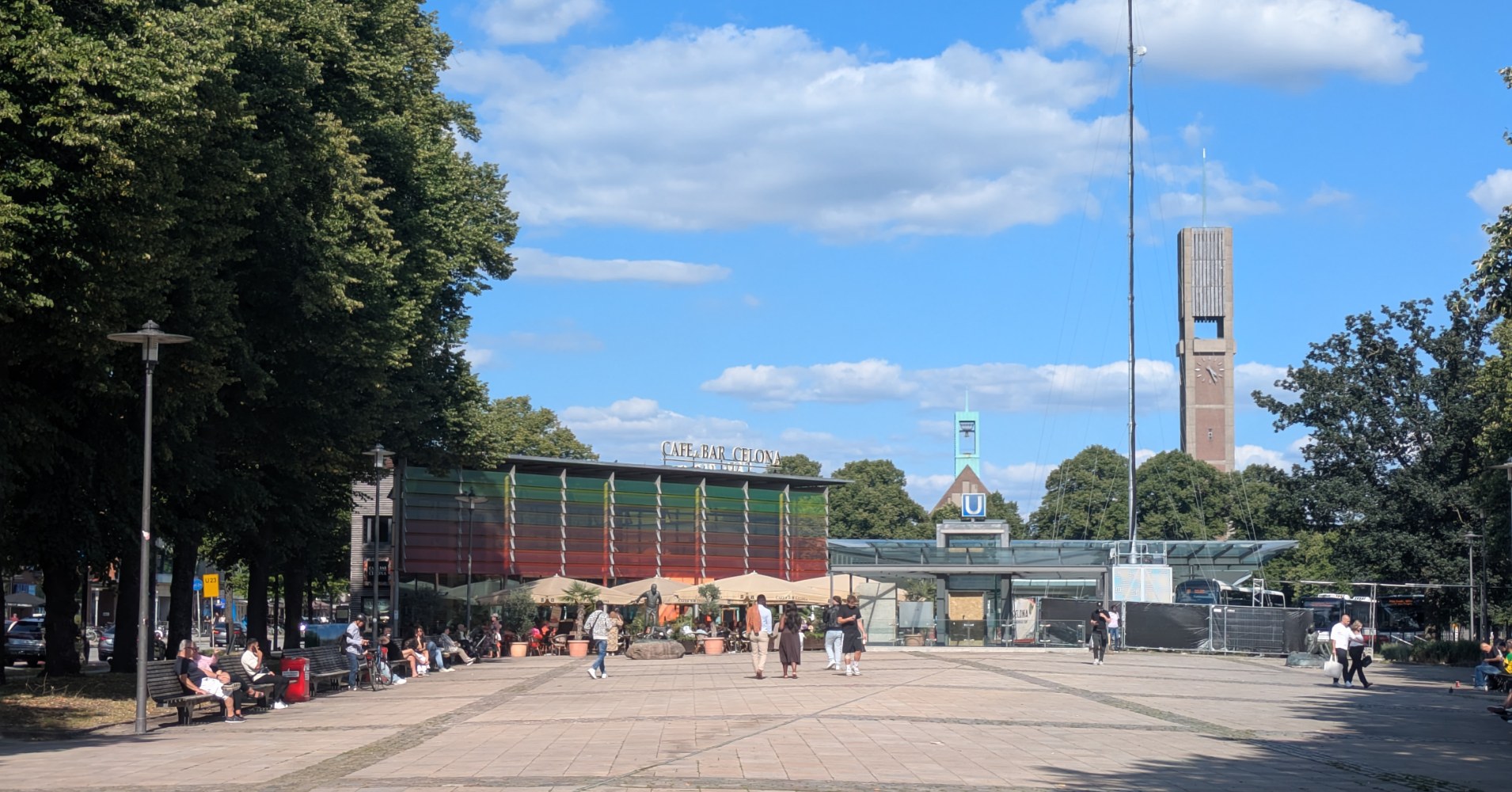
The seminar discusses these topics within the framework of the Masterplan Magistralen 2040+ with a focus on area around Wandsbek Markt. This area does not only form a meeting point of two magistrals, but is also the district centre of Wandsbek, a major transport hub and features a number of amenities such as bars, restaurants and a major shopping mall. Despite this, the various functions are dissected by multi-lane roads and while underpasses exist to link these elements with each other, foot and bicycle traffic both usually have to take detours or experience longer waiting times. This results in a loss of quality of public spaces and calls for transformative action on behalf of architects and urban planners.
Digital tools can be used to find, highlight and describe problematic situations, such as high noise and low comfort levels, safety issues or an under- or overutilisation of certain spaces. Hamburg provides with its Geoportal very good data on the environment, as well as 3D-building data set for the whole city. Besides this, humans themselves can also easily become digital sensors and capture their own datasets about their perceptions and integrate them into a joint data infrastructure with other datasets coming from official sources.
Students are invited to discuss questions of data-based planning and how individual perceptions can be included into digital representations Participants of the course will create interactive data stories based on a web-based repository prepared by the course instructors. These data stories will not only include the results of the analyses and derived recommendations for planning, but also a reflection on the suitability of analogue and digital tools for describing the environment and its perception.
The seminar is set up as a collaboration with the Simlab-team of TU Wien who bring in their expertise in designing and developing interactive digital decision-support tools. Students from TU Wien are also joining the seminar and will collaborate with colleagues from HCU in small groups on the creation of data stories.
On this website, we present the results of the seminar and the projects developed by the students.
Contact
Balázs Cserpes | balazs.cserpes@hcu-hamburg.de
Julia Forster | julia.forster@tuwien.ac.at
Stefan Bindreiter | stefan.bindreiter@tuwien.ac.at